
ARMY TM 5-6675-308-12
MARINE CORPS TM 08837A-12/1A
Table 3-3.2. Mission Procedures (GPS) - Continued
Step
Reference
Status indicators
CDU data display
Operation action
no.
NOTE
All mission survey is accomplished
using either the plumb bob or theodolite
and will have no CDU reference to GPS.
If GPS mark data is required, the indi-
vidual receivers must be accessed to log
mark data. Standard survey accounting
techniques should reference PADS mark
numbers with GPS derived mark
numbers.
9.
MARKING - POSITION AND
ELEVATION (using plumb bob)
a.
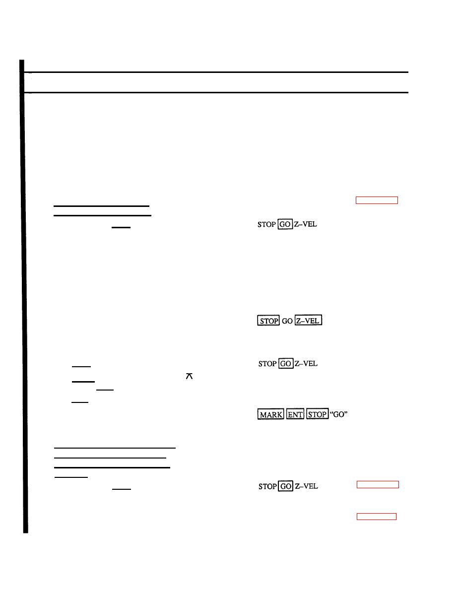
Stop vehicle; press STOP
b.
Hang plumb bob from suspension point
c.
Set survey marker directly under plumb
bob flush with the ground. Set locator
stake nearby
d.
Stow equipment
OR:
Hang plumb bob from suspension point
a.
b.
Maneuver vehicle so plumb bob is di-
rectly above pre-established survey
marker
c.
Stow equipment
Press STOP
d.
MARK ENT
C-E
Press MARK (if 2 POS C-E appears on
e.
display, press CLR)
f.
Press CLR; PADS marks position
PAUSE
ID*PAE 2-2
PADS records position and shows re-
g.
suits of mark and is ready to move after
indicator has flashing "GO"
10.
MARKING - 2-POSITION AZIMUTH
MARK (using plumb bob. Not func-
tional in geographic coordinate system
operation.)
Stop vehicle; press STOP
a.
Hang plumb bob from suspension point
b.
With care, set survey marker directly
c.
3-22.19
under plumb bob
3-36.28
Change 3

 Previous Page
